


TLDR: A new interactive map from the Climate TRACE initiative allows users to visualize and track particulate matter emissions in real-time, enhancing understanding of air pollution sources. By leveraging satellite imagery, it helps identify trends, holds industries accountable, and promotes cleaner air advocacy.
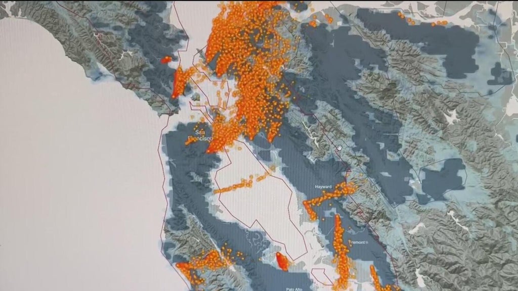
In the ongoing battle against climate change, new technological advancements are providing valuable insights into air pollution and its sources. A recently launched interactive map allows users to visualize and track particulate matter emissions across various regions. This innovative tool is part of the Climate TRACE initiative, which aims to provide real-time data on greenhouse gas emissions and other pollutants.
The interactive climate map utilizes satellite imagery and advanced algorithms to detect and display pollution plumes in a user-friendly format. Users can zoom in on specific areas to see detailed information about pollution sources, including industrial facilities, transportation hubs, and natural events such as wildfires. This level of transparency is crucial for understanding the impact of human activities on air quality and can help inform policy decisions.
One of the key features of this map is its ability to show the fluctuations in air quality over time. By analyzing data from multiple sources, the map reveals trends and patterns that can help researchers and policymakers identify critical areas that require intervention. This tool not only empowers communities to advocate for cleaner air but also holds industries accountable for their emissions.
The initiative behind this map is driven by a coalition of organizations and researchers who recognize the urgent need to mitigate climate change and improve public health. As air pollution is linked to numerous health issues, including respiratory diseases and cardiovascular problems, the impact of this tool extends beyond environmental concerns. It plays a vital role in raising awareness about the importance of reducing emissions and striving for a sustainable future.
In conclusion, the interactive Climate TRACE map represents a significant step forward in tracking and combating air pollution. By harnessing technology and data, it enables a more informed approach to environmental issues and engages the public in the fight for cleaner air. As we continue to face the challenges posed by climate change, tools like these are essential for fostering accountability and promoting sustainable practices.
Please consider supporting this site, it would mean a lot to us!
